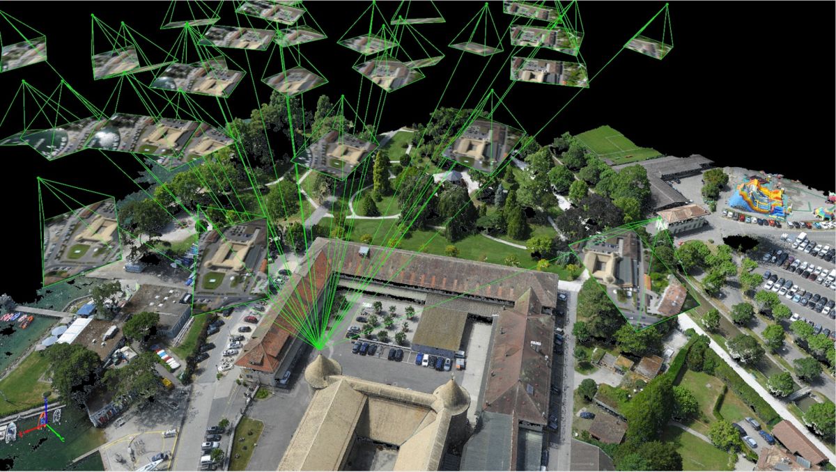
Paremate otsuste tegemine koos 3D-kaartide ja -mudelitega
Parim:
- Geodeesias
- Ehituses
- Põllumajanduses
- Avalikuse turvalisuses
- Kaevandamine
The only drone mapping & photogrammetry software tools with a flight app, desktop, and cloud platforms

Pix4Dmapper
Photogrammetry software for professional drone mapping
Pix4Dcapture
Free app to plan, fly and get optimized images for professional drone mapping


Pix4Dmodel
Shareable 3D models from drone images
3D mapping software for earthworks, construction and infrastructure management


Aerial crop analysis for digital farming
Pix4Dengine
Build the future of image-based reality capture with data-driven insights for your business
