SONY APLHA 7R*
- Täiskaader kaamera koos 26 MP sensoriga
- 35mm täiskaader sensor
- ISO ulatus 100 – 25600
- Seadistatud mõõdistamisteks
INSPEKTEERIMISE LISASEADMED
- Reaalsete värvidega, ajatemplitega ja georefereeritud RGB ja 14-bitised RAW-termilised pildid
- Kaks kaamerat, mis on paigaldatud paralleelselt ühele teljele
- Täissensor RGB kaamera
- FLIR Tau 2 640 kaamera
FLIGHT PLANNING SOFTWARE
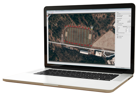
Proven software for easy-through-complex flight planning.
Navigator software helps you carry out challenging field projects quickly and easily. In just a few clicks you can plot matrices, define routes, and set all relevant system and camera parameters.
You can edit and exactly reproduce missions whenever you need to.
As part of the package, users receive:
Navigator waypoint flight planning software
Photo Tagger to combine logs with images for use in post-processing

CHOOSE FROM TWO DIFFERENT
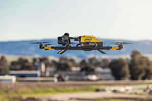
INTEL FALCON 8+ DRONE – TOPCON EDITION PAYLOAD OPTIONS

Survey & Mapping Package – ideal for surveying, modeling, and mapping projects. Quickly capture overall data for accurate 3D terrain modeling; building survey and construction progress; inventory analysis, vegetation control, and more.
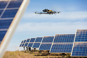
Inspection & Monitoring Package – for industrial on-shore and off-shore inspection and monitoring.

