HERON® MS TWIN Color
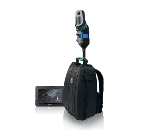
HERON MS TWIN Color is a portable 3D mapping system featuring a double laser sensor for robust 3D geometry acquisition, and an RGB hi-res panoramic camera for images collection both in continuous and on-demand at 5K. It works in complex and multi-level buildings, and supports geospatial and digital twin applications. It is provided with a complete software package to manage the entire data processing workflow.


HERON – THE PROFESSIONAL 3D MOBILE MAPPING SYSTEM
Powerful SLAM-based scanner for fast 3D mobile mapping, ideal everywhere: indoors, outdoors, underground mines, geospatial applications, multi-level buildings, tunnels, cultural heritage sites, forensic procedures, forests, urban areas…but especially harsh and complex environments.
Some unique features:
- Loop closure not mandatory
- Initialization procedure not required
- Usage in every light conditions
- Automatic self-localization in a reference model, when available
- Large reduction of drift effects typical of the SLAM process (patented algorithms)
- Static scans used as constraints (patented algorithms)
- Full post-processing software with third-party compatibility
USABILITY
- RGB data acquisition: automatic and on-demand at 5k for very detailed images only if requested
- Easy geo-referencing procedure.
- Loop closure and initialization procedure not required.
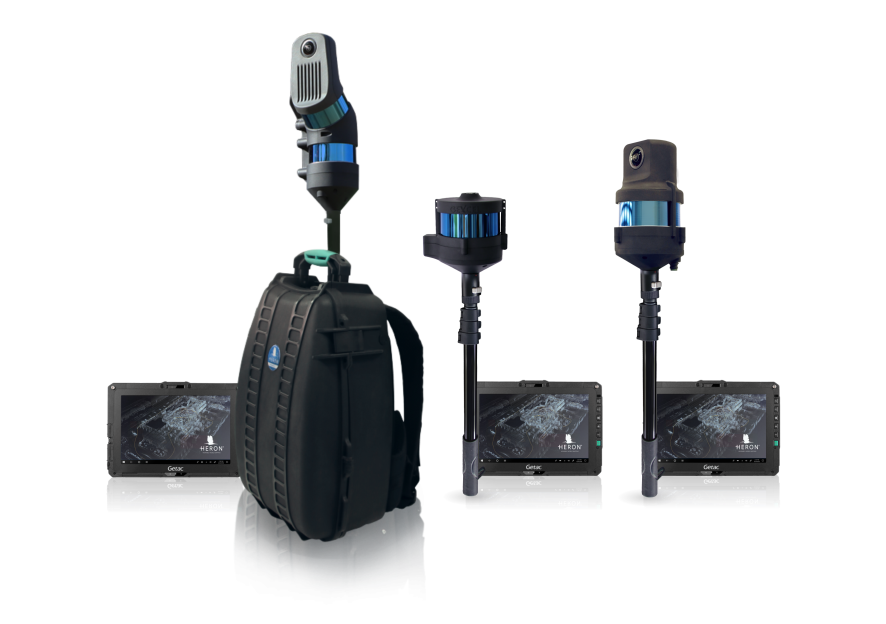
- Light rugged backpack usable for transportation and acquisition.
- Capture head dockable also to a pole or vehicles like cars, bikes, quads..
- Rugged touch screen Control Unit that also provides:
– Annotations.
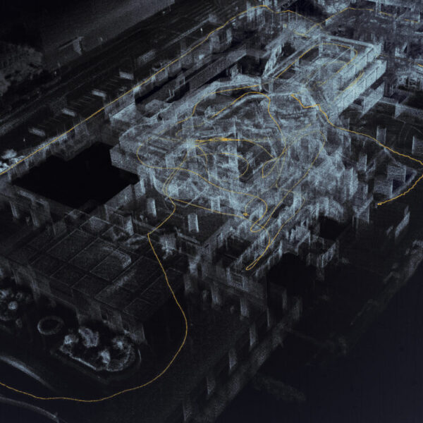
– Real-time view of the point cloud generation
and the acquired panoramic images
– Hands-free configuration.
DATA PROCESSING
- Accurate 3D colorized models also in complex environments.
- Automatic mapping of color data on 3D model.
- Very dense point cloud rendering with multiple color layers.
- Direct export of images and 3D data to ReCap Pro.
- Easy data export to third-party software (like 3DM Feature Extraction, EdgeWise, Micromine, Scene, Verity) and cloud platforms (e.g. 3DM Cloud, 3DUserNet, Cintoo Cloud, Scene Webshare) through the .e57 format.
- Advanced point cloud rendering which emphasizes features and details.
- 3D models navigation tools.
- Tracking mode for change detection applications.

APPLICATIONS
INCLUDED SOFTWARE
What you need to create and navigate 3D models and share results
HERON Desktop®
Post-processing SLAM software
To manage HERON raw data and automatically get accurate 3D point cloud models using a patented SLAM algorithm; split and merge survey trajectories and filter moving objects. Advanced mode to customize SLAM parameters. Use of GNSS coordinates for geolocalization.
Reconstructor®
Advanced 3D point cloud analysis software
Complete post-processing workflow for data from HERON or tripod/handheld/mobile sensors and UAV 3D point clouds. Powerful automatic target-less scans registration. Data export in several standard formats. Full compatibility with several third-party software and cloud platforms. Point cloud editing, color camera calibration, mesh and DM generation, volume/cut&fill volume calculations, cross-sections and profiles extraction.
GoBlueprint®
Free tool for 2.5D maps
A user-friendly viewer of X-ray 2.5D scaled images (obteined with Reconstructor), designed to quickly share models with final clients letting them easily measure distances, areas, volumes. It runs on any Windows-based tablet or pc.


